Client:
Government of South Australia - The Department for Infrastructure and Transport (DIT)
Government of South Australia - The Department for Infrastructure and Transport (DIT) link opens in a new tab
Project Owner:
Government of South Australia - The Department for Infrastructure and Transport (DIT)
Government of South Australia - The Department for Infrastructure and Transport (DIT) link opens in a new tab
Adelaide’s final North South Corridor
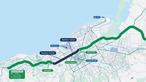
The 10.5km Torrens to Darlington (T2D) tunnel project is the final piece of one of Adelaide’s most important transport routes, the North-South Corridor (NSC). Through the implementation of underground tunnels and the strategic bypassing of 21 sets of traffic lights, the T2D Project aims to establish seamless connectivity among various communities across Greater Adelaide. By relocating thousands of vehicles below ground, this ambitious initiative will significantly enhance transportation efficiency.
The Situation
- In order to gain a clearer understanding of the initial conditions, the Department of Infrastructure and Transport (DIT) enlisted Sixense for InSAR Satellite monitoring in the Adelaide Metropolitan Region, specifically targeting the T2D project area.
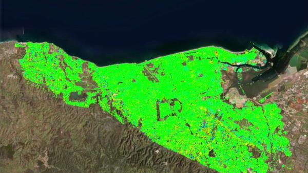
- This involved conducting historical ground deformation analysis to extract valuable insights. The Area of Interest (AOI) encompasses approximately 850km² within the Metropolitan Adelaide region, with a specific focus on the T2D project area.
What We’ve Delivered
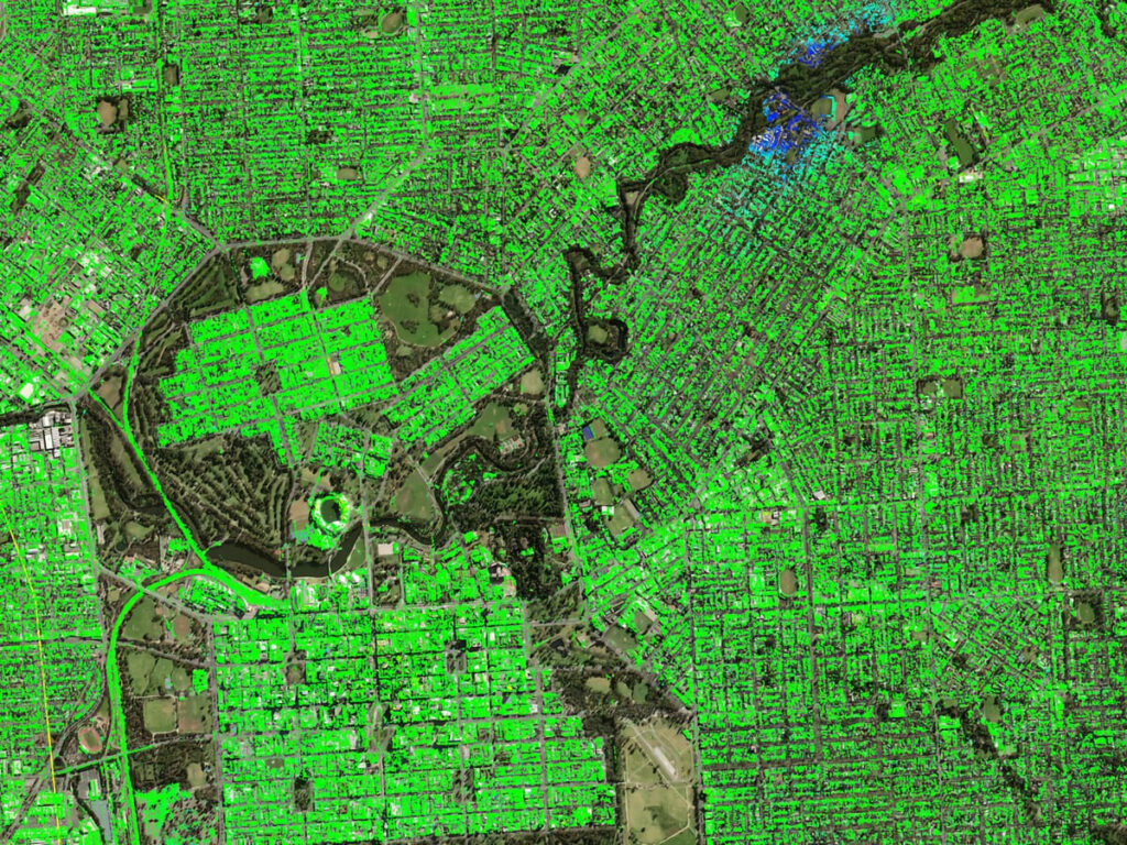
- The successful application of Atlas interferometry enabled a comprehensive historical analysis of the entire Adelaide Basin, including the T2D Project AOI. This provided the team with invaluable data for their geotechnical analysis.
- This study incorporated 220 high-resolution SAR images from the COSMO-SkyMed (CSK) constellation, to cover a timeframe of over 11 years.
- The data collection period extended from July 2011 to December 2022, allowing for a detailed examination of the AOI’s evolution. Subsequent to this historical analysis the DIT awarded Sixense for 2 years routine monitoring in preparation of the construction of the tunnel with quarterly delivery.
Images of the project
km2 - Surface analysed
High-resolution SAR images
InSAR measurement points (PSI)
years - Historical period
Similar projects